The usual approach: fly first, figure out the use later.
A lot of drone footage is beautiful and hard to use. It runs too long for a reel, moves too much for a website hero, or misses the one angle that shows how big the project really is.
Hire a Green Bay drone pilot for a construction update, property listing, resort shoot or event. Our Wisconsin family team plans the ground photos and aerial angles around where the finished images will go.
Nick Arndt is an FAA Part 107 certified remote pilot.
We put the drone in charge. It had the best overview.
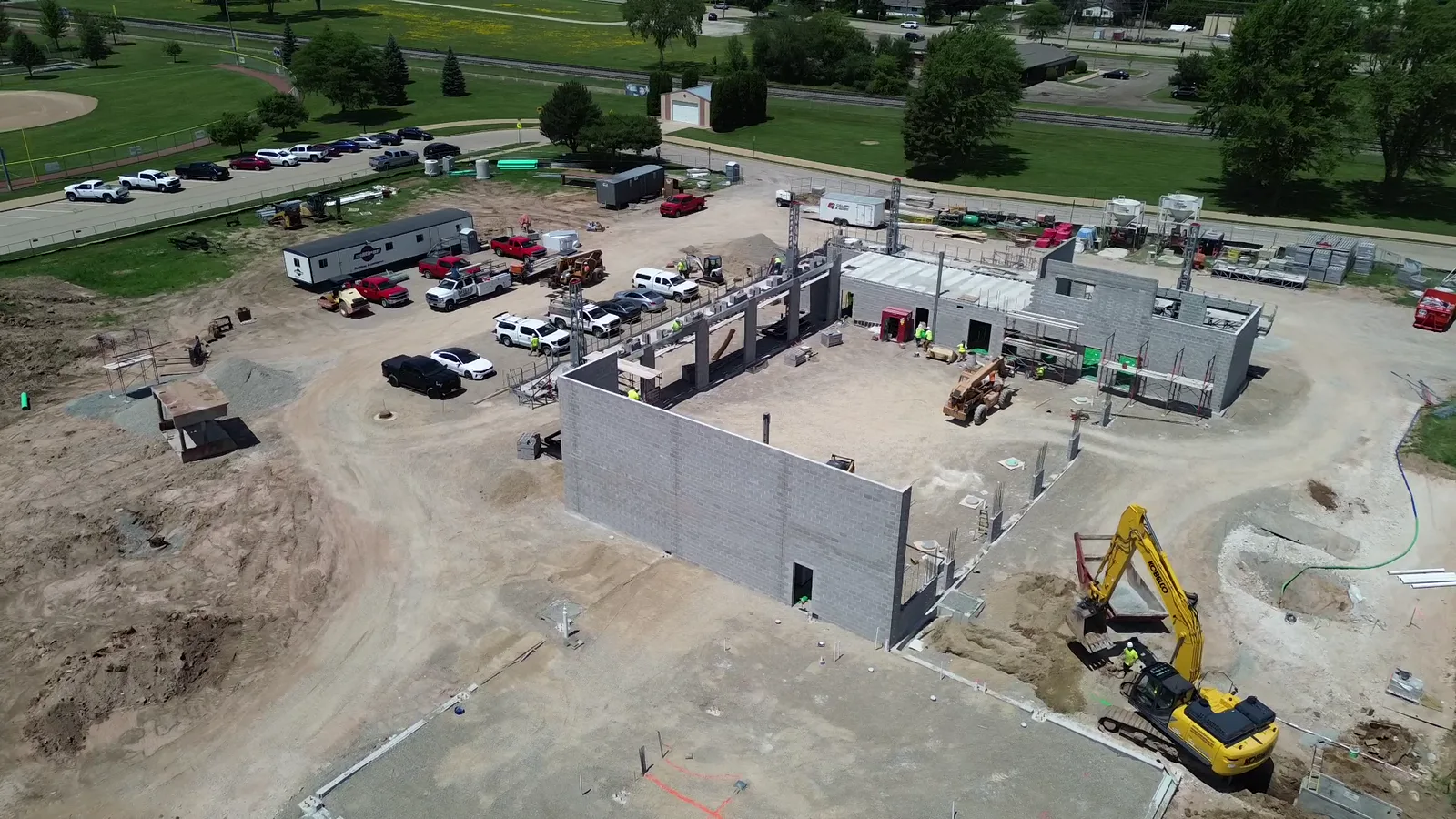
Compare dated views from the same flight positions. See the Appleton bridge flights, 29 days apart.
Give guests room, grounds and waterfront views for the booking page.
Show interiors, land and access before the showing.
Plan the gallery around the run of show, sponsors and the next event.
BUILT AROUND THE JOB
Progress, scale, finished work, and the people making it happen. Useful for project updates, recruiting stories, and showing prospective customers what you can handle.
Facility context, processes cleared for filming, product details, and team stories. We establish restricted areas and review requirements before shooting.
Approach, setting, shoreline, outdoor space, and the experience around the property. Give guests a reason to picture themselves there.
WHY AERIAL FOOTAGE OFTEN FALLS FLAT
A lot of drone footage is beautiful and hard to use. It runs too long for a reel, moves too much for a website hero, or misses the one angle that shows how big the project really is.
We plan every shot around where it will live: a website hero, a vertical reel, a recruiting video, a project update, or a campaign. Formats, framing, and length are decided before anything takes off.
Because we also build websites and run social, the edit can go straight into your homepage, your feed, and your next campaign. You are not left holding a hard drive and a to-do list.
WHAT WE SHOOT AND WHERE
Most on-location work starts within roughly 50 miles of Green Bay, including Appleton, Neenah, and Kaukauna; farther sites, such as Fond du Lac, are quoted with travel. Door County, the Northwoods, and the U.P. are possible when the fit and timing make sense. Every aerial plan is checked against airspace, permissions, weather, and site safety before we confirm it.
BEFORE WE GET ROLLING
Feasibility depends on the location, airspace, conditions, permissions, and safe operating constraints. We review the site and timing before confirming an aerial plan.
We agree on weather flexibility and a backup plan in the scope. Clean, safe footage is more useful than forcing a shot in poor conditions.
Yes. Send a description of the files and intended use. We check quality, formats, and usage permission before scoping the edit.
We plan around three things: FAA airspace rules for the location, permission from the property owner or site manager, and the site’s own safety rules. Some locations near airports or large events need extra authorization, so we check before we schedule.
Often, yes, when it is planned that way. We build the shot list around every planned use, then deliver separate edits and formats for each.
Sometimes. Door County, the Northwoods, and the U.P. are on the table when the project fits; travel and weather backup days are agreed before the trip.
Send the location, timing and where you’ll use the photos or footage. We’ll help you decide what needs a drone and what’s best shot from the ground.
Call 920-393-7273